As someone that has lived in Copenhagen for years. I’ve had my fair chance of exploring most of the nearby hiking routes.
Many of them are more times than I can count.
I’ve collected my absolute favorites in this article for you to discover.
And highlighted the best parts of all routes, the maps, and how to get there. To give you the best opportunity to decide for yourself.
Notice that I’ll refer to an AllTrails map + an alternative map for every hike.
📌 TIP: The good thing about the AllTrails app is that you can download any map for offline use with their Pro subscription (they're offering a 7-day free trial).
📖 Table of Contents
- Top 5 Best Hikes Near Copenhagen
- 1. Skjoldungestien: A Hike Through Skjoldungernes Land National Park
- 🎠🇩🇰 Get Free Access to Copenhagen’s Top Attractions and Public Transport for 1-5 Days
- 2. Furesø: A Hike Around Denmark’s Deepest Lake
- 3. Amarminoen: A Hike Through Amager Nature Park
- 🎠🇩🇰 Get Free Access to Copenhagen’s Top Attractions and Public Transport for 1-5 Days
- 4. Mølleåen: A Hike Through the Eldest Industrial Landscape in Denmark
- 5. Rudersdalruten: The Marathon Challenge
- Starting Points of Hikes (Map)
Top 5 Best Hikes Near Copenhagen
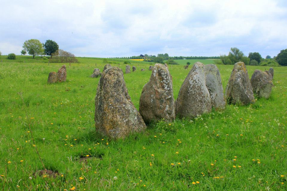
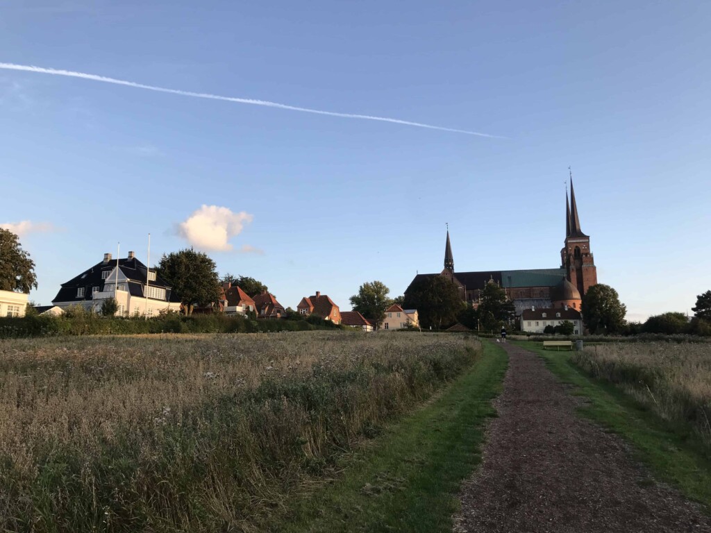
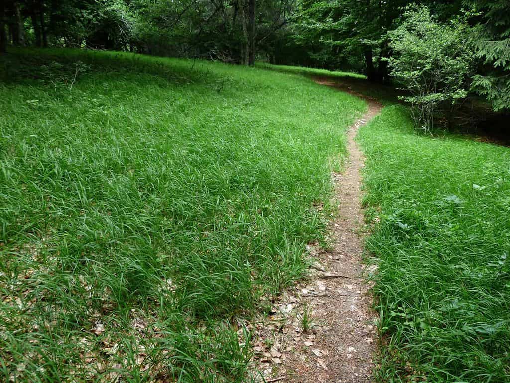
1. Skjoldungestien: A Hike Through Skjoldungernes Land National Park
Length: 13.7-22.4 miles / 22-36 km

If you’re a fan of Vikings, look no further, this is the hike for you.
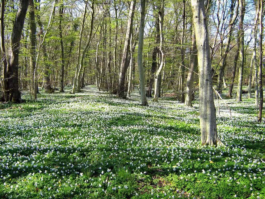
Let this hike take you back in time. Through beautiful forests and cultural-historical landscapes.
Experience protected manor estates, burial mounds, stone ships, Viking ships, and more. All for free.
Do notice that some of these you’ll only see on the longer route (see down below).

Highlights
- Easy-to-follow marked route
- Beautiful forests and open Ice Age landscapes with rolling hills and river valleys
- Public ancient monuments from the Stone age all the way up until The Middle Ages
- A public raft
- Avnsø lake (where you’re welcome to take a dip)
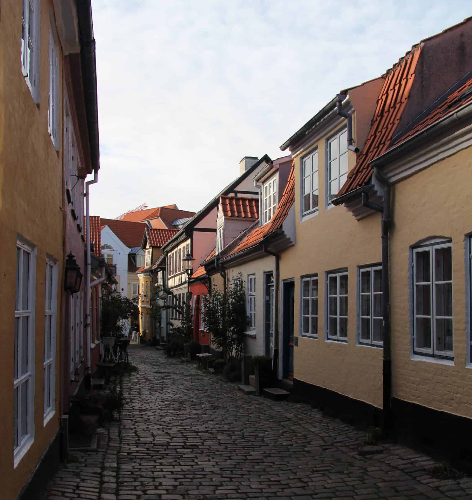
- Experience small Danish villages in the countryside
- Animals (rich birdlife – especially at Roskilde Fjord, horses, sheep, etc.)
- The beautiful entrance and nearby area to Ledreborg castle (including a cool graveyard)
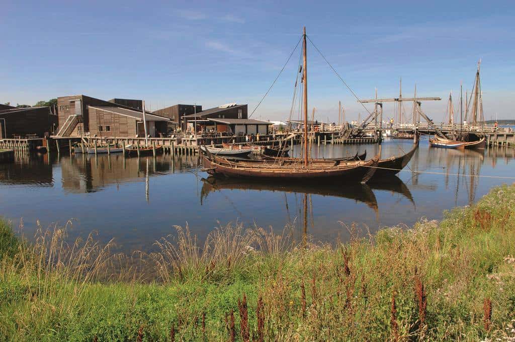
- Roskilde Viking Ship Museum free public outdoor area. Where ships are being built using ancient methods (on the long route)
- Roskilde cathedral. Which houses the graves of 21 kings and 18 queens. The largest number in the world (on the long route).
📌 TIP: You can read more about the National Park on their official website.

Or visit their Facebook or Instagram.
Source: Facebook
Map
Alternative Map
Skjoldungestien actually has a free official app with a map.
This includes the ability to download a map for offline use.
You can find it on App Store or Google Play. Though do notice, that’s there unfortunately only a Danish version available.
Or you can choose a good old PDF down below:
Source: Nationalparkskjoldungernesland.dk

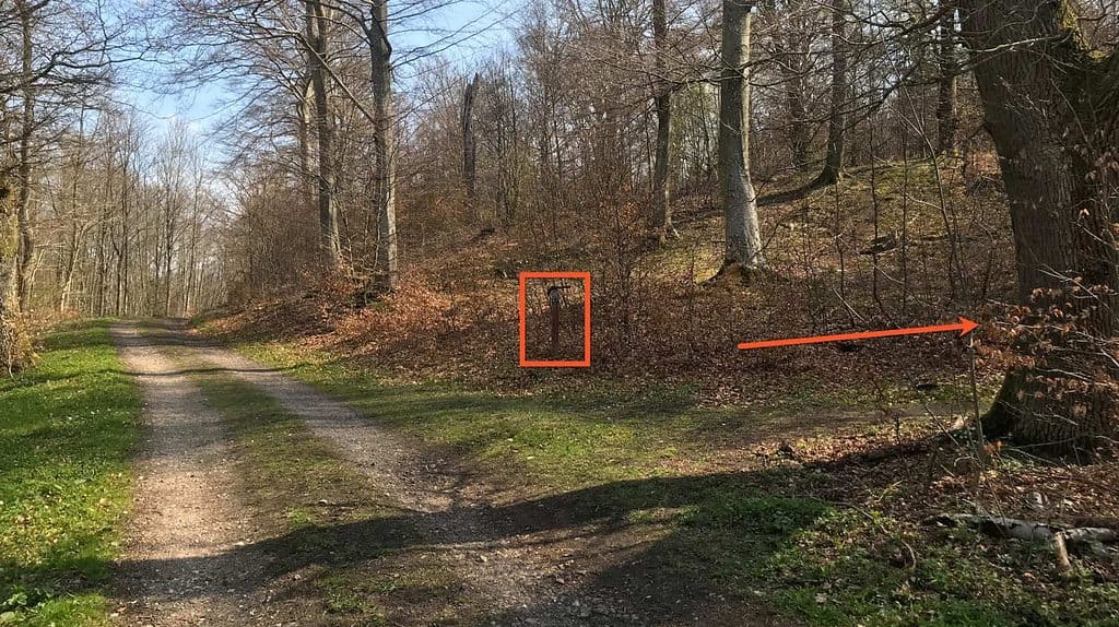
NB! Avoid This Place Where People Usually End Off-Track
People = are probably just me and my clever companions.
This one I honestly messed up 2-3 times before finally getting it right.
Location

Source: AllTrail.com
Place
How to Get There
Take the train to Hvalsø Station.
The Shorter Route (Ending in Svogerslev)
Length: 13.7 miles / 22 km

Source: AllTrails.com
Your endpoint will be here in Svogerslev
And depending on the day and time, you’ll either want to take bus 203R from the Åbrinken (Lindenborgvej).
Or bus 201 from Kongemarksvej (Svogerslev Hovedgade) back to Roskilde Station.
If you have service, you can check out the next departure on Google maps here.
The Longer Route (Ending in Roskilde)
Length: 22.4 miles / 36 km
While the longer route would be a challenge for most people. You will be highly rewarded.
Source: Facebook
If you don’t feel like missing out on attractions in Roskilde and the city itself. I recommend you visit the city on a separate day.
In reality, you won’t have time to actually visit/enter the Viking Museum or the church on the day of hiking either. Or experience the rest of the city for that matter.
📌 TIP: Fancy sailing in a real handmade Viking ship? Then consider booking a 1 hour and 50 min. sailing trip with the museum here.
🎠🇩🇰 Get Free Access to Copenhagen’s Top Attractions and Public Transport for 1-5 Days
Before attending any activities or taking public transport (even from the airport) I have an important tip for you.
If you want to save money while ensuring you’re experiencing Copenhagen to its fullest, I highly suggest buying an official Copenhagen Card (rated 4.5 out of 5) 🤩
This card will give you free access to more than +80 attractions including all the major ones + unlimited public transportation to get you there.
By doing so you don’t have to worry about how much you spend on activities or transportation. Which can be useful in the world’s 11th most expensive city.
Another thing worth mentioning is, that it’s provided by the Official Tourism Organisation of Denmark and not a private company, ensuring you the best experience.
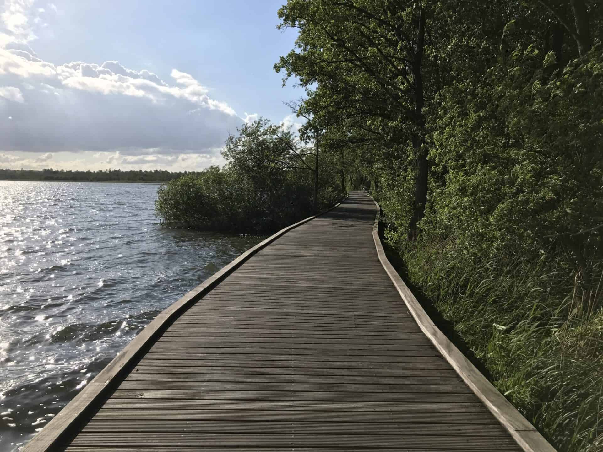
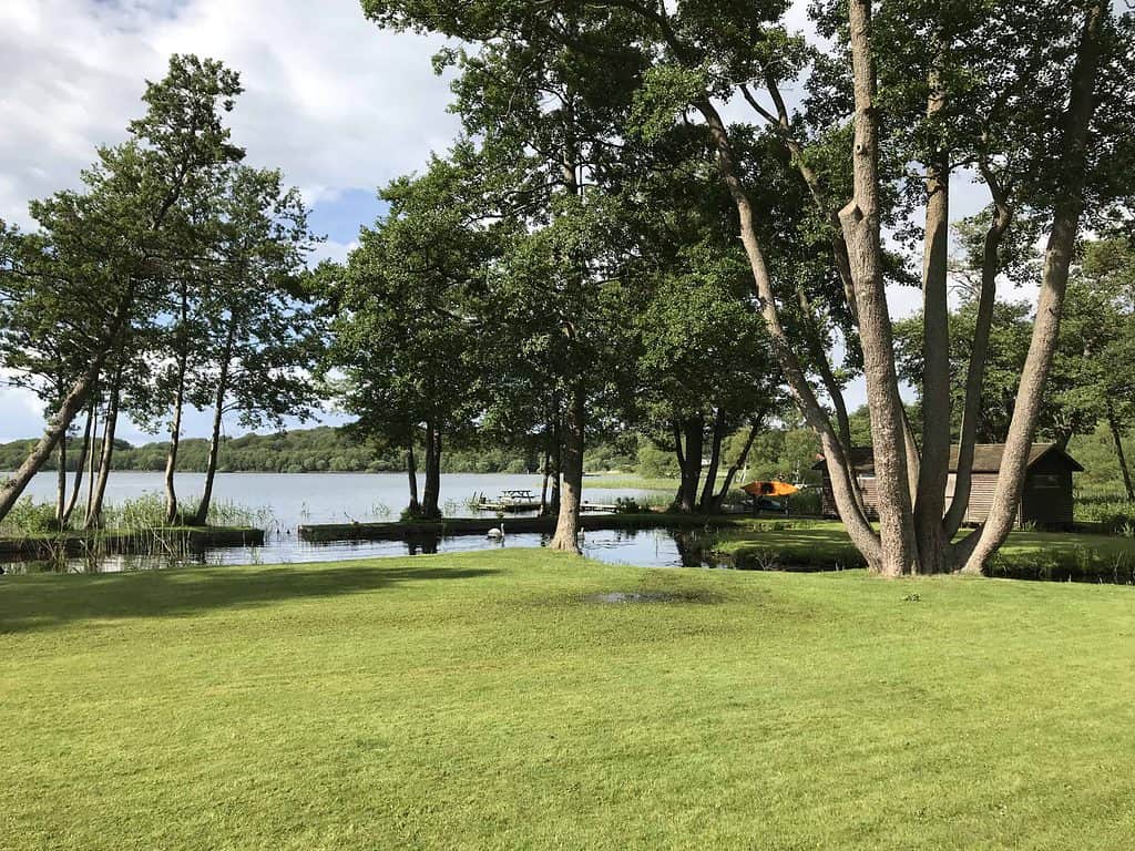
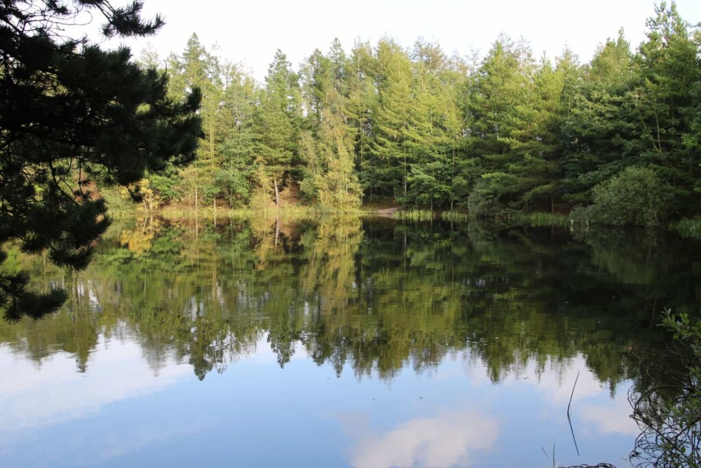
2. Furesø: A Hike Around Denmark’s Deepest Lake
Length: 12.7 miles / 21 km
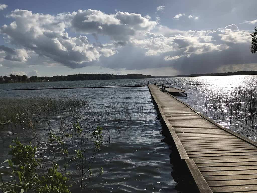
I’ve taken this hike more times than I can remember
One of the best parts is the constant change in the environment and the several attractions on the way. All for free.
And if you’re hungry after the hike or feel like treating yourself. Then you can visit the restaurant Furesøbadet located at the start/endpoint.
Here you can enjoy your dinner while scouting over the lake you’ve conquered during the day.
And since the route has the same starting and endpoint, you have the opportunity to drive by yourself as well.
📌 TIP: Expect around 16.8 miles (27 km) if you're arriving by public transport from Farum Station.
Highlights
- The start- and endpoints are the same. This also makes it bicycle or car-friendly (including free car parking next to Restaurant Furesøbad)
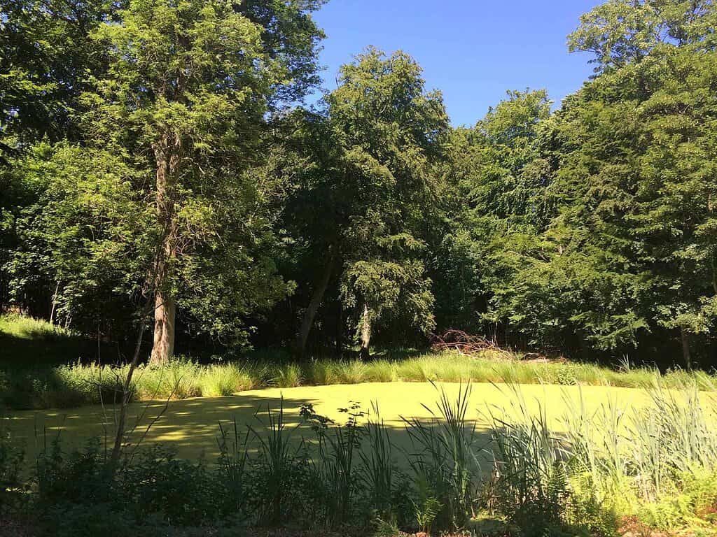
- Variated environment (small man-made beaches, forests, cozy city roads, a swamp, cornfields, etc.)
- Bathing beaches and piers (Furesøbad in the northwest part. Frederiksdal Fribad in the south part. And Kinabugten in the east part).
The first two beaches and lifeguards from 10-18:00 from 1 June – 31 August. - The Vasetårnet bird tower with a free public binocular stand
- The Næsse castle
- Climbing robes (climb and hit the bell to challenge yourself)
- Animals (rich birdlife, horses, etc.)
- Beautiful houses
- The Chr. Winthers sti bridgedeck on 0,3 miles / 503 meters
- Elevated paths and spots with a great view over the lake
- Restaurants and shops (Restaurant Frederiksdal Fribad and Restaurant Furesøbad).
The first one is more lunch/snack friendly, located a few miles after the start. And the second one is more dinner friendly, located at the start/endpoint.
Map
Alternative Map
Viewranger (free download of the map for offline use)
How to Get To There (Start- And Endpoint)
Go to Restaurant Furesøbad (choose your transportation of choice)
If you’re in a good shape or up for a challenge. Then consider bicycling the 12,1 mile (19,5 km) from Copenhagen central station. It should take around 1-1.25 hours each way.
📌 TIP: There's a nice dedicated bicycle route most of the way. Which offers plenty of space to drive side by side.
3. Amarminoen: A Hike Through Amager Nature Park
Length: 16.6 miles / 27 km
Though their limited similarities. It’s recalled after the more popular route “Camino de Santiago”.
Amager (the name of the island) + Caminoen (in Danish) = Amar-minoen.
This is the most popular route on the list due to its convenient location close to the center.
And being the newest established route as well, it had its fair share of coverage in the press.
This also means that it’s the most crowded route. So if you feel like going more off-grid, you should take this into consideration.

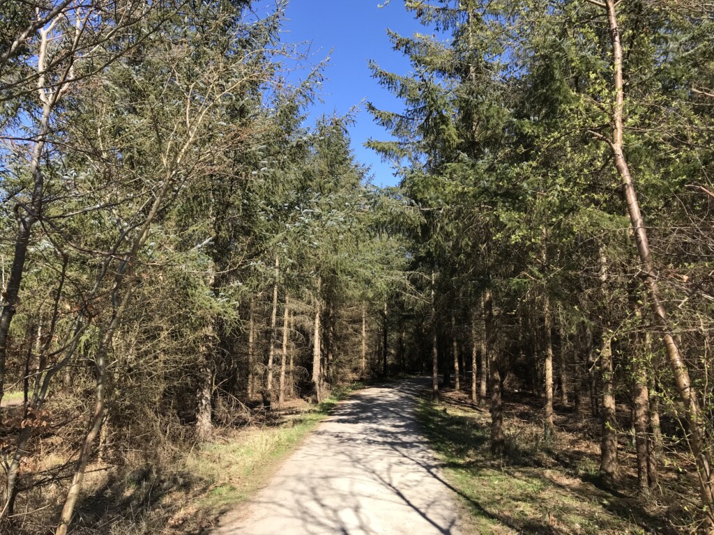
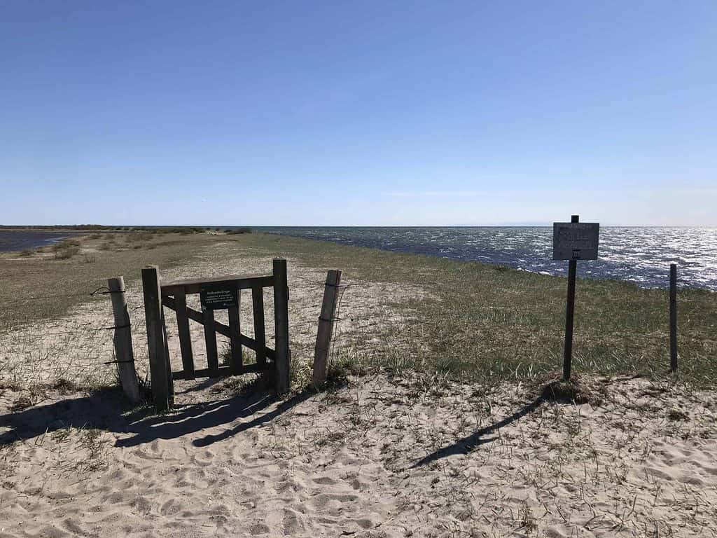
This hike will also take you through forests, beautiful open landscapes, and beaches.
You can also walk the open areas with highland cattle roaming all year.
Highlights
- Easy-to-follow marked route
- Modern architecture
- Motocross is free for spectators (check Amager Motocross club’s calendar here)
- Animals (highland cattle – aka the labradoodle of cows, donkeys, horses, etc.)
- The LocaLoco beach bar. Where you can have some food, drinks or ice cream.
Including the Danish “Gammeldags isvaffel” waffle ice cream (opening hours) - The old military fort Kongelundsfortet with free entrance (opening hours)
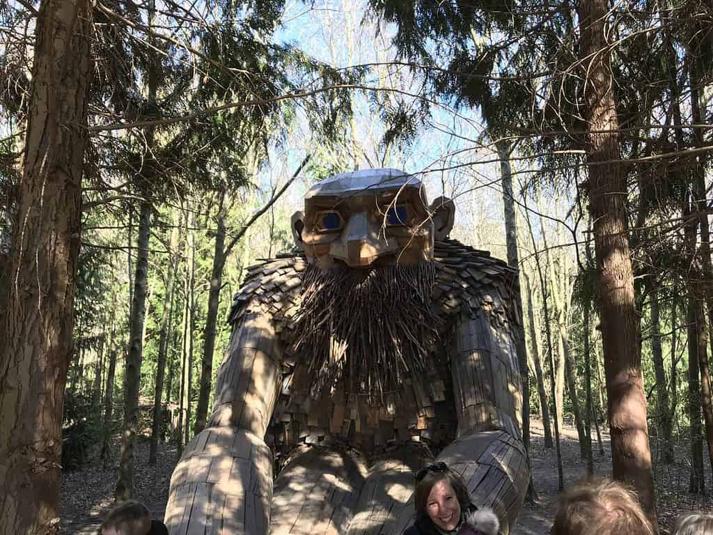
- A big wooden troll sculpture.
Map
Alternative Map
Official map from Naturparkamager.dk (source)
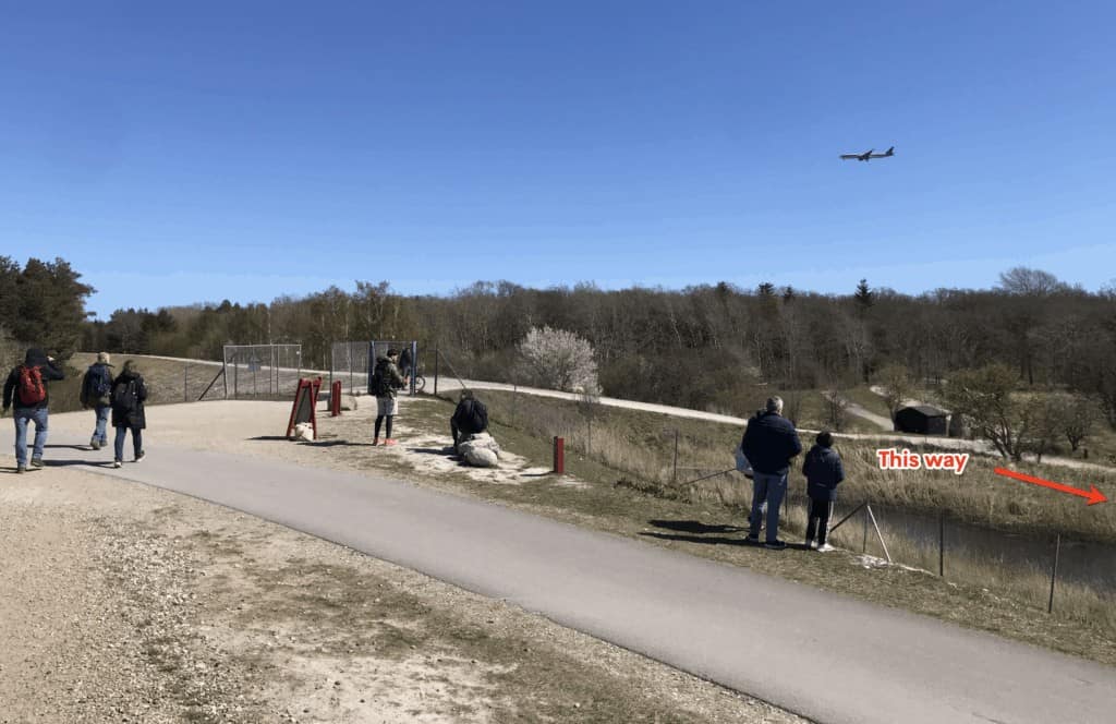
NB! Avoid This Place Where People Usually End Off-Track
I was guilty of this myself the first time (and a few more times…)
As mentioned the route is well-marked and easy to follow.
But I’ve met other people who messed this one up several times.
Location
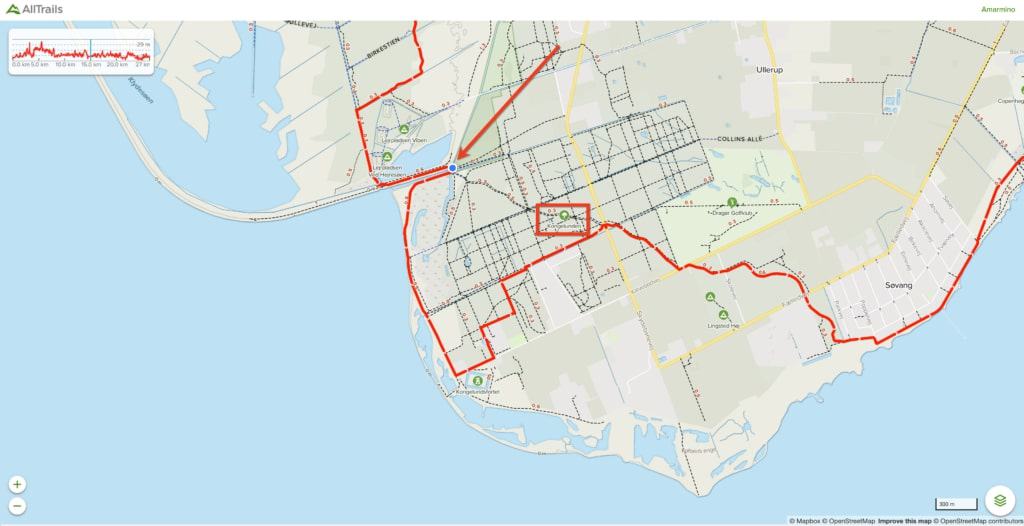
Source: AllTrails.com
Place
How to Get There
Take the metro towards Vestamager to DR Byen metro station.
From there you only need to walk a few minutes to get to the starting point.
Once you’re at your end destination in Dragør. You can take bus 250S towards Gladsaxe Trafikplads from Dragør Skole (Vestgrønningen). This will take you all the way to Copenhagen central station.
📌 TIP: See this article 9 Things You See Do On Amarminoen That Might Surprise You eliminate any potential risk of FOMO
🎠🇩🇰 Get Free Access to Copenhagen’s Top Attractions and Public Transport for 1-5 Days
Before attending any activities or taking public transport (even from the airport) I have an important tip for you.
If you want to save money while ensuring you’re experiencing Copenhagen to its fullest, I highly suggest buying an official Copenhagen Card (rated 4.5 out of 5) 🤩
This card will give you free access to more than +80 attractions including all the major ones + unlimited public transportation to get you there.
By doing so you don’t have to worry about how much you spend on activities or transportation. Which can be useful in the world’s 11th most expensive city.
Another thing worth mentioning is, that it’s provided by the Official Tourism Organisation of Denmark and not a private company, ensuring you the best experience.
4. Mølleåen: A Hike Through the Eldest Industrial Landscape in Denmark
Length: 12.4-19.9 miles / 20-32 km

In Danish Mølleåen translates to “The Watermill Lake”.
You’ll see watermills having roots all the way back to the Viking times and the middle ages.
Up until the 1500s to produce paper and gunpowder. And weapon production in the 1600s.
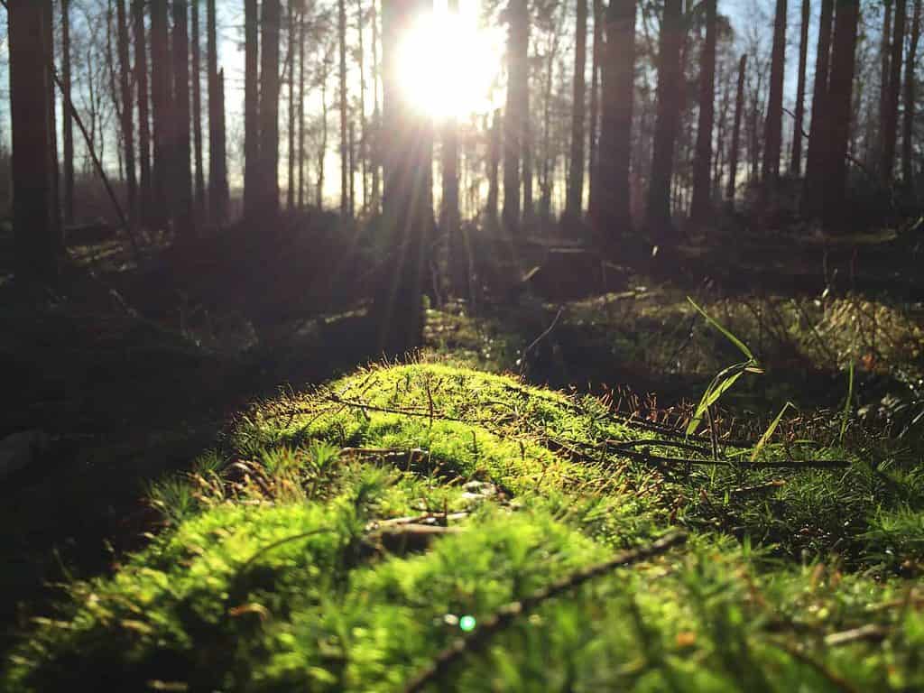
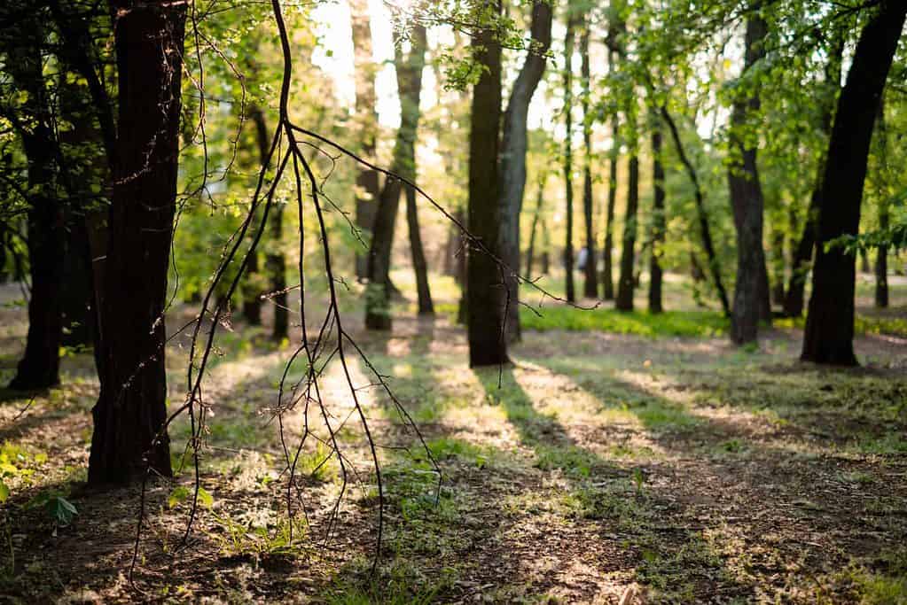
This route will also take you through forests, lakes, and bogs.
Highlights
- Experience an old tree from the Middle Ages
- Several old industrial buildings
- 9 watermills (only 1 still active)
- Larger parts of the route go through cities (which mean you can also buy food, drinks, and snack along the hike).
Map
Alternative map
Unfortunately, these PDFs aren’t in English. But they do contain maps.
You can find them here:
Source: Ltk.dk
How to Get There
The Shorter Route
Length: 13.64 miles / 22 km
Here you’d also need to take the train to Farum Station and walk down to Restaurant Furesø and start from there.
No matter your route of choice. You can take the train from Skodsborg Station back to Copenhagen after the hike.
The Longer Route
Length: 19.9 miles / 32 km
The only way to access public transportation is by taking either bus 158 or 334 to this stop.
From there you’d need to walk an additional 2.2 miles / 3.6 km for approx. 45 min.
📌 TIP: The extra work and distance make it suitable for motivated/experienced hikers.
5. Rudersdalruten: The Marathon Challenge
Length: 19.9-26.7 miles / 32-43 km
If hiking a marathon is on your bucket list, now you have the chance.
Though it’s pretty exhausting, most people with no injuries are able to do it.
But in that case, prepare yourself to walk a little funny close to the end. While finding benches more attractive than ever before.
This route will take you through several forests, open landscapes, and lakes.
Highlights
- Easy-to-follow marked route (though it could be better – you need to stay alert at times)
- Hiking a marathon is a cool thing to put on your resume (or brag about to your friends, family, and everyone you’ll meet)
- Easy-to-follow marked route (though I advise awareness at times)
- Start and stop at the same spot, which also makes it bicycle or car-friendly
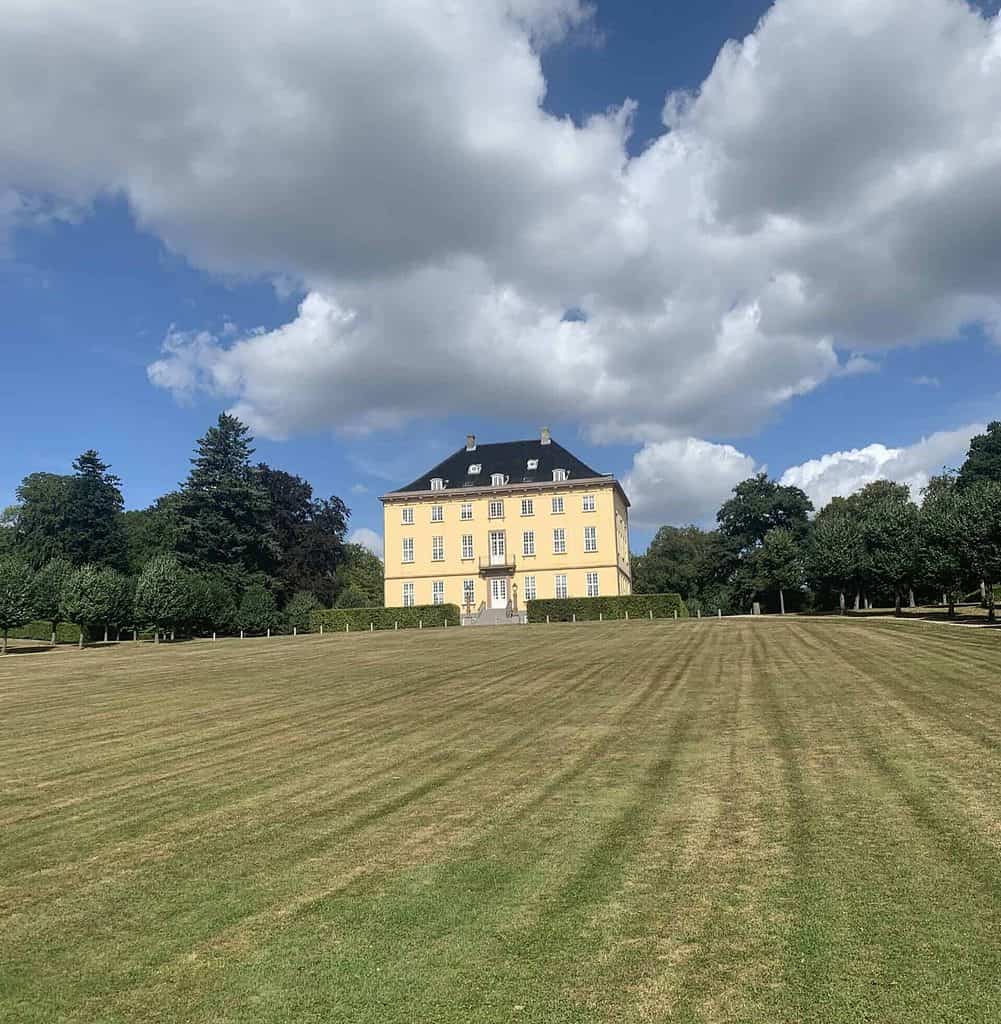
- Jægerspris castle
Map
Alternative Map
The best alternative map would be to take some screenshots of the AllTrails map.
Or you download their free official app on App Store or Google Play. Though do notice here as well, that there’s unfortunately only a Danish version available.
And the app doesn’t allow you to download the map for offline use either.
How to Get There
The Shorter Route
Length: 19.9 miles / 32 km
Take the train to Holte Station. You’ll find the route right north on the outskirt of the station.
The Longer Route (The Marathon)
Length: 26.7 miles / 43 km
Take the train to Skodsborg Station. Which is also the endpoint.
Leave a reply